 LANDSCAPE AND ENVIRONMENT
Introduction | Research | People | Tools
LANDSCAPE AND ENVIRONMENT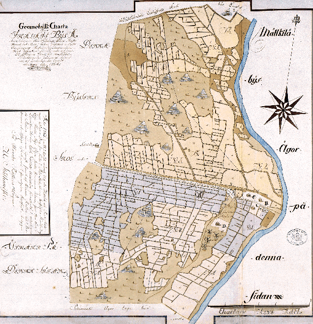
Maanmittaushallituksen arkisto A: 90.
1764 - IHALA VILLAGE MAP
Sami Raninen
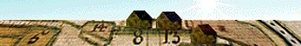
On this map, A stands for Mulli, B for Knuuti (Nuutila), C for Siiri and D for Konsa farm. Numbers 1-4 mean the windmills of Konsa, Knuuti, Mulli and Siiri, respectively. Compared with the situation of 1725, some changes have taken place: Konsa farm has been moved up on the hill (which nowadays is Kansakoulunmäki Hill) and there's one extra windmill, because Siiri has a mill of its own. The Huhkonkoski Rapids water mill is not seen on this map.
Introduction | Research | People | Tools